Accurate aerial data collection and mapping for land, construction, and development projects across Kentucky.
Our drone-based mapping and surveying services provide accurate, high-resolution data for land surveying, construction planning, and site development. Using advanced photogrammetry techniques, we create detailed orthomosaic maps, 3D models, and topographic surveys that save time and reduce costs compared to traditional ground-based methods.
From small residential lots to large agricultural fields and commercial developments, our high-resolution thermal imaging drone captures comprehensive aerial data that helps engineers, architects, developers, and landowners make informed decisions. Our FAA Part 107 certified operations ensure compliance with all regulations while delivering professional-grade results.
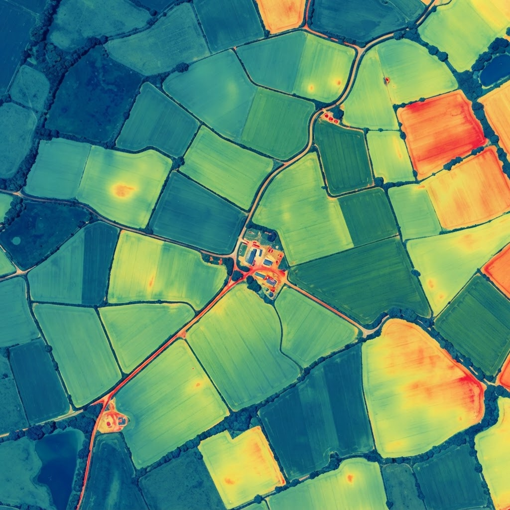
Drone mapping is faster, safer, and more cost-effective than traditional surveying methods. We can cover large areas in a fraction of the time, providing actionable data that speeds up project timelines and reduces overall costs.
Contact us to discuss your mapping and surveying project requirements.