Crop health monitoring, field analysis, and irrigation insights to improve yields and optimize farming operations.
Our agriculture drone services help Kentucky farmers make data-driven decisions to maximize crop yields and optimize resource usage. Using multispectral imaging and thermal sensors, we identify crop stress, irrigation issues, and pest problems before they become visible to the naked eye, enabling early intervention and better crop management.
From small family farms to large agricultural operations, our high-resolution thermal imaging drone provides comprehensive field analysis that saves time, reduces input costs, and improves overall farm productivity. Our ITC Level 1 thermography certification ensures accurate heat detection for irrigation monitoring and crop health assessment.
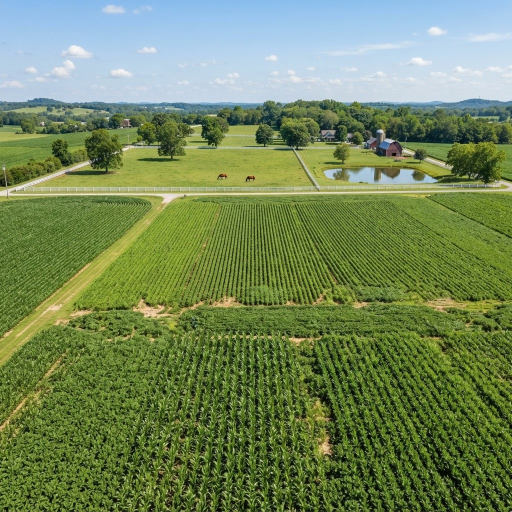
Aerial agriculture monitoring allows you to survey hundreds of acres in minutes, identify issues early, and apply treatments only where needed. This precision approach reduces chemical usage, saves water, and increases profitability.
Contact us to learn how aerial intelligence can improve your crop yields and reduce costs.