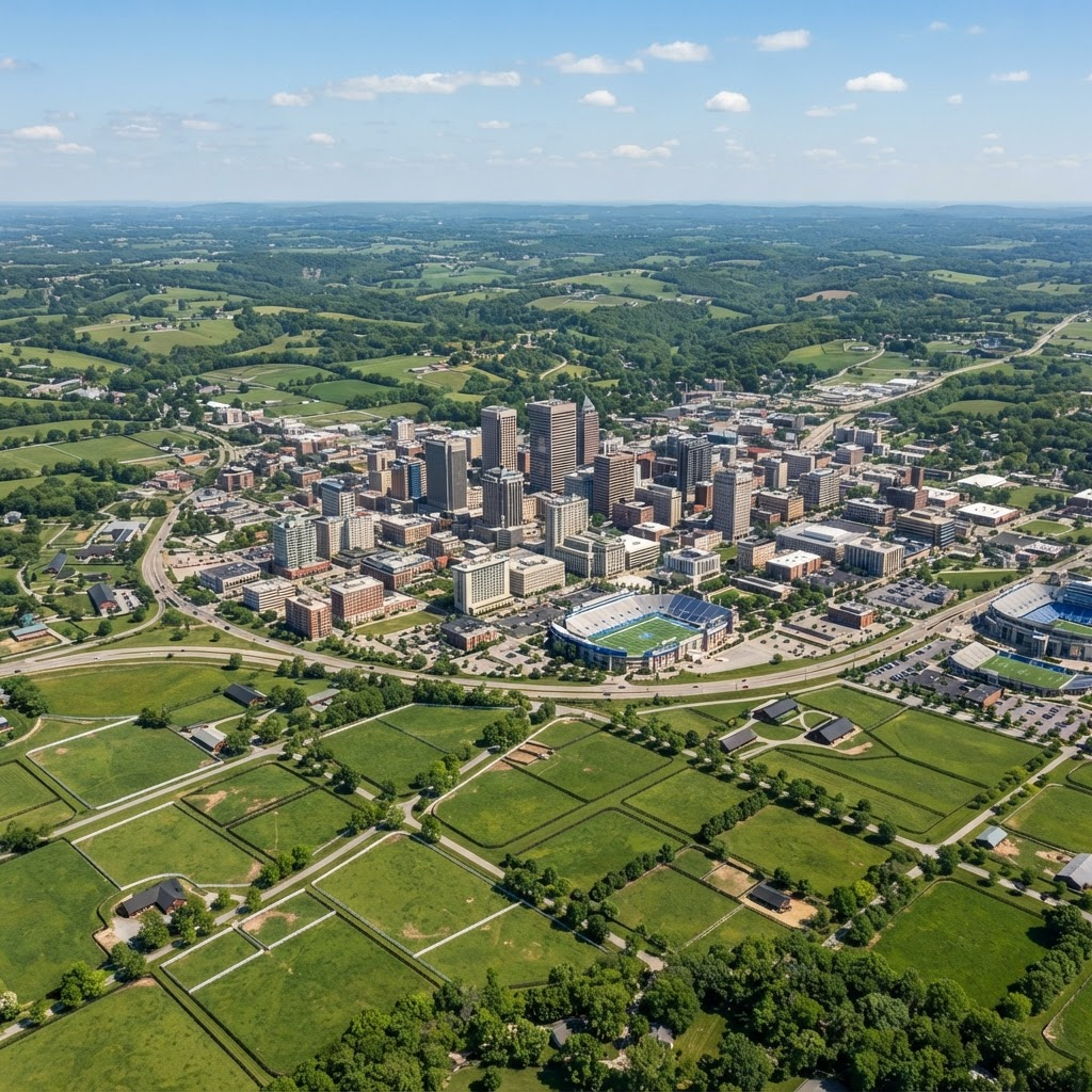

AERIAL PHOTOGRAPHY
& VIDEOGRAPHY
Stunning high-resolution imagery for marketing, documentation, and project visualizations.
REQUEST QUOTE →
CERTIFIED ITC LEVEL 1 THERMOGRAPHY &
FAA PART 107 OPERATIONS
Stunning high-resolution imagery for marketing, documentation, and project visualizations.
REQUEST QUOTE →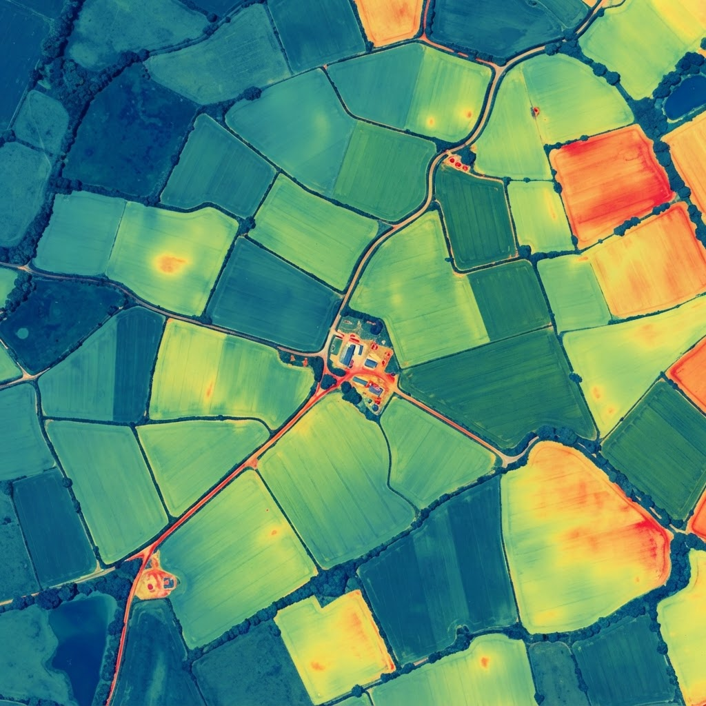

Accurate data collection and mapping for land, construction, and development projects.
REQUEST QUOTE →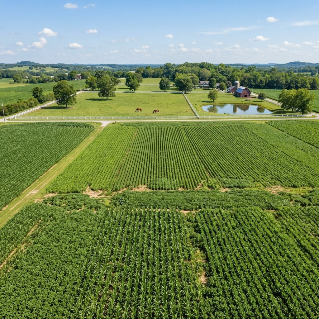

Crop health monitoring, field analysis, and irrigation insights to improve yields.
REQUEST QUOTE →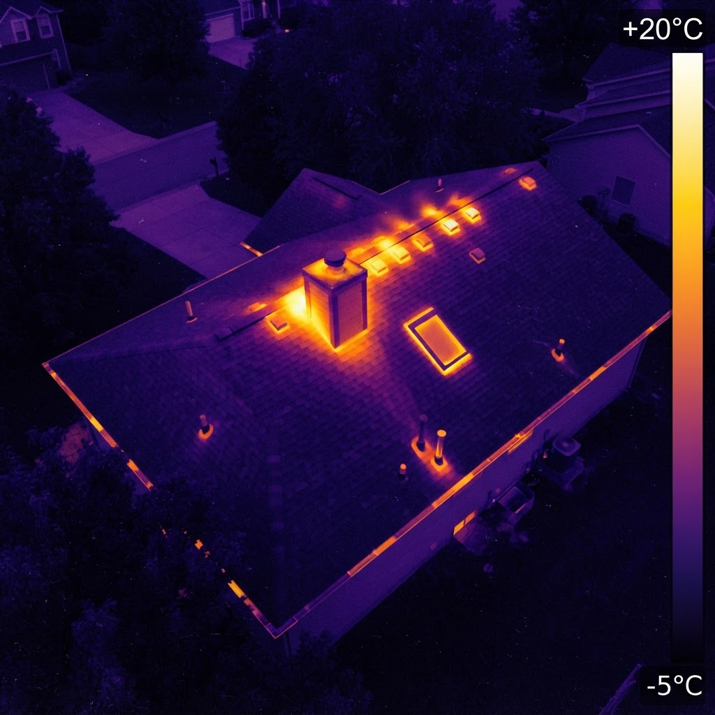
Thermal and visual inspections for infrastructure, roofs, solar, and site assessments.
REQUEST QUOTE →Bluegrass Drone Systems LLC provides professional drone services across Kentucky. We combine high-resolution thermal imaging for heat detection, moisture analysis, and electrical scanning with certified thermography expertise to deliver safe, reliable, and accurate results.